This post may contain affiliate links. We may receive a small commission, at no cost to you, if you make a purchase. Read Disclosure.
It may have one of the most confusing names to remember the order of (and spell, that hyphen gets me every time), but Grand Staircase-Escalante National Monument is a vast and rugged landscape that beckons adventure, and will imprint memories to last forever!
One of the best ways to experience this canyon-clad region is to go on Grand Staircase-Escalante scenic drives, which passes several family-friendly hiking trails, hidden waterfalls, magnificent viewpoints, undulating waves of colorful rocks and slot canyons, and endless rainbow colored valleys.
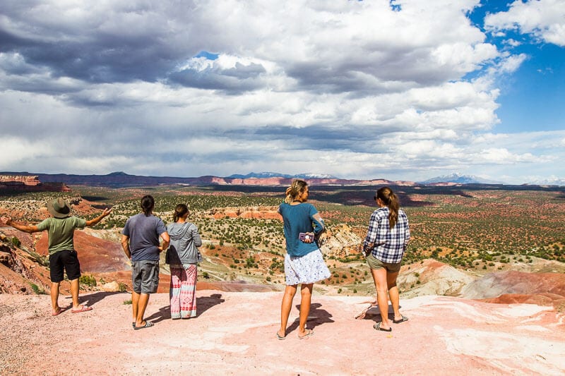
A scenic drive through Grand Staircase Escalante combines several smaller scenic drives, including the iconic All-American Road: Scenic Byway 12, which runs through the monument, as well as the more rugged Burr Trail.
If you’re thinking of driving through Grand Staircase Escalante and not sure what to see along the way, here are the highlights of our scenic drive, and a few hidden surprises, too!
Where is Grand Staircase-Escalante National Monument?
But first, you might be unsure about where the Grand Staircase Escalante National Monument is, since it covers an area of 7,600 square kilometers!
Grand Staircase Escalante National Monument is located in Southern Utah and bordered by Bryce Canyon National Park to the northwest, Glen Canyon National Recreation area to the east, and Capitol Reef National Park to the northeast.
Many visitors drive through it quickly thinking it only encompasses a scenic drive, eager to get to the big 5 national parks in Utah on either side of it.
Don’t make the same hurried mistake as you’ll find just as much to be in awe of in this region as those other national parks. In fact, It’s double the combined land of Utah’s five national parks!
What is Grand Staircase-Escalante National Monument
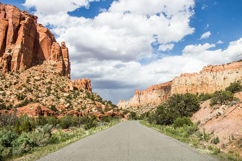
Grand Staircase-Escalante National Monument is 1.87 million acres of canyons, cliffs and rugged landscapes offering an abundance of adventures like hiking, off-roading, camping, and scenic drives.
Intrepid travelers will love to know that much of the sweeping Grand Staircase region is quite remote. Very few trailheads can be reached on paved roads.
Be sure to plan for those off-the-beaten path experiences well. Carry plenty of water (at least one gallon — 4 liters — per person, per day)
Summer temperatures can range over 100° F (38°C) and winters can drop well below freezing at night. Sudden heavy rains can make this road impassable — even for high-clearance, 4WD vehicles.
We visited in April/May and the weather was very pleasant and perfect for the many wonderful hikes in the Grand Staircase-Escalante region.
Scenic Drives in Grand Staircase Escalante National Monument
Start your engine, and get ready to cruise. There are many different scenic drives in Grand Staircase Escalante that will blow your mind, and we didn’t even go too far off the beaten path!
Here are some easy don’t miss drives!
Scenic Byway 12: All American Road
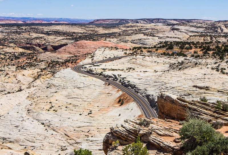
- Distance: 122.8 miles
- Start point / end point: Panguitch to Torrey
- Time to complete: 2.5 – 3 hours nonstop
- Highlights: Dixie National Forest, Capitol Reef National Park, Larb Hollow Overlook, Boulder Mountain, Anasazi State Park and Museum, Lower Calf Creek Falls
- 4×4 needed? No
Scenic Highway 12 is Utah’s only road recognized as An All American Road, a title only given to a third of America’s scenic byways.
It’s given to roads that offer unique features that you can’t find elsewhere. They become tourist destinations in themselves. You can only imagine how beautiful this scenic drive is when almost every road in Utah is a scenic one.
Hwy 12 has pretty much earned the title of the most colorful of the nation’s 31 All-American Roads.
It connects U.S. 89 near Panguitch on the west with S.R. 24 near Torrey on the northeast winding 124 miles through some of the most diverse and ruggedly beautiful landscapes anywhere.
You’ll drive past red rock cliffs, through slickrock canyons, pine and aspen forests, national and state parks, a national monument and several quaint rural towns – mixed in with every color of the rainbow and style of rock formation you can think of.
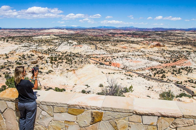
The road at times is embedded into the slickrock helping you feel a deeper connection to the lunar like landscape and rainbow colored rocks of all sizes, shapes and formations.
Most people drive through Scenic Byway 12 in a day – us included on a previous Utah road trip.
However we recommend you stay longer to explore all it has to offer not just on the road but off.
We did that on our last trip spending about a week in the Escalante Region and coming in and off the road.
It’s a great jumping off point to explore Escalante Petrified Forest State Park, Bryce Canyon National Park, Kodachrome Basin State Park, the Dixie National Forest’s Red Canyon and Capitol Reef.
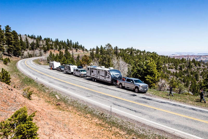
We started from Torrey driving up into the Dixie National Forest with beautiful viewpoints showcasing the contrasting world of subalpine fir and aspen, the red rock of Capitol Reef, the green of the valley and surrounding mountains.
Boulder Mountain Pass is the highest point on Scenic Drive 12 at 9,606ft so be prepared for some steep climbs.
The byway crosses a vast expanse of slick-rock canyon country encompassing Grand Staircase-Escalante National Monument. It looks like an ocean of swelling colorful rocks. Stop at the many viewpoints – it is spectacular.
Plan a pit stop for coffee with a view at Kiva Koffee house.
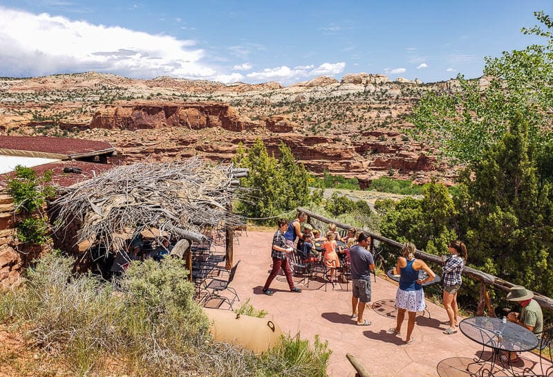
Continue on.
Hairpin turns will have you on the edge of the seat as you look down into deep red Escalante canyons, the most popular section of the monument for its active waterfalls, arches, riparian oases, sculpted slickrock and narrow canyons.
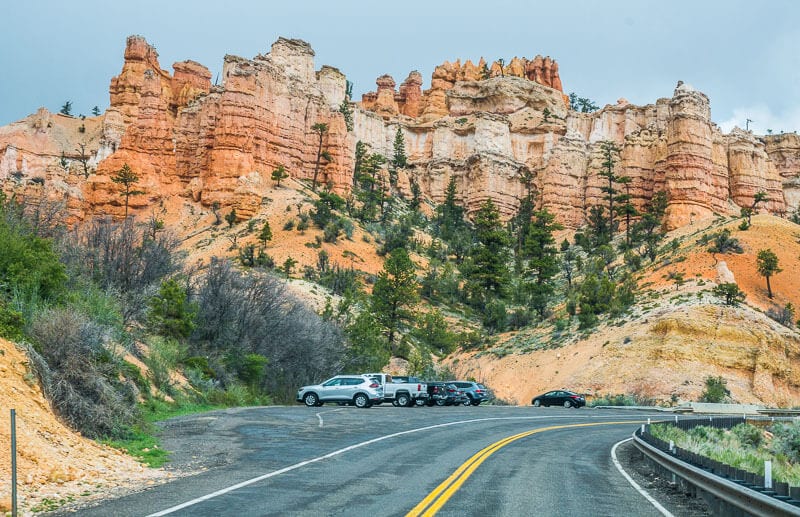
The drive finishes near Bryce Canyon driving through two beautiful red arches in Red Canyon.
Beauty like this can never be understated nor underappreciated. It’s definitely one of the best road trips in the USA.
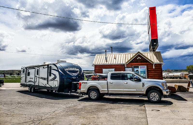
If you need pretty good coffee at the end of your Highway 12 scenic drive pull up to Wanderlust Cowgirl Coffee Panguitch, on the road from Escalante to St. George.
Stop to Hike to Lower Creek Calf Falls
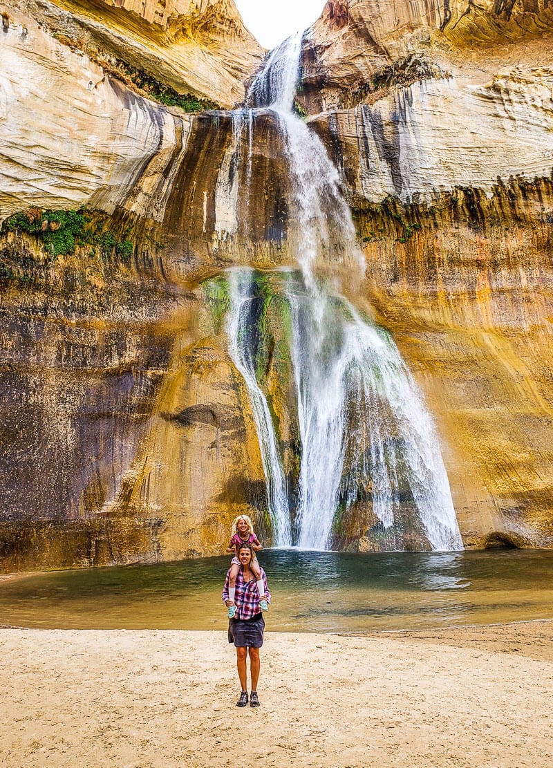
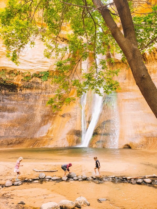
Along Highway 12, is a wonderful hike worth stopping off for. What a wonderful surprise Lower Creek Calf Falls was!! Can you believe this beautiful waterfall gushing down over the cliff in a tranquil, tropical feeling place?
It was a big hike for us to do with the kids to get here. It was six miles return with an elevation gain of 500 ft. which wasn’t too bad.
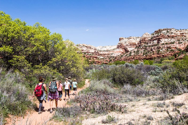
The views along the valley and rainbow colored escarpment walls the entire way were beautiful. Most of it was a sandy track which made it a little more challenging.
Along the hike you’ll see some ancient pictographs on the wall , walk along sandy beach tracks, through bamboo forests and beside crystal clear creeks.
At the end you’ll reach a gorgeous oasis with the Lower Calf Creek Falls plumetting 126ft over the rock face in a Y-formation.
Swim right up under it, if it’s not too chilly! It’s the perfect spot for a picnic and a rest before gathering your strength to walk back. It’s one of the best things to do in Utah.
The Lower Calf Creek Falls trailhead is located at the Calf Creek Campground on Highway 12, 11 miles south of the town of Boulder, and 15 miles east of the town of Escalante.
There is a 13-site campground here and a day use picnic area. The campsite looks gorgeous an I’d love to stay here under the shade of the trees nestled along side Calf Creek. Its’ a first come first served basis so good luck!
Video: Lower Calf Creek Falls and Highway 12
Hole-in-the-Rock Scenic Drive
- Distance: 62 miles
- Start point / end point: Escalante to Lake Powell
- Time to complete: 3-5 hours
- Highlights: Devil’s Garden, Peekaboo Gulch Canyon, Spooky Gulch Canyon, Escalante Petrified Forest State Park, Escalante Interagency Visitor Center
- 4×4 needed? No
Hole-in-the-Rock is a 62-mile drive one way, and follows the general route of of the pioneer Hole-in-the-Rock Expedition to search for a route across the Escalante River, what is now Lake Powell.
Most of the road is in Grand Staircase-Escalante National Monument, however the last 5 miles are within the boundaries of Glen Canyon NRA where you’ll find the actual hole in the rock by the Colorado River!
Most visitors travel the 11 miles to Devil’s Garden and 26 miles to the turnoff for Peek-a-boo and Spooky Gulch. We missed the Devil’s Garden as our hike into Peek-a-boo (see below) wiped us out!
Hole-in-the-Rock a popular drive for the scenery – it was beautiful on the way into the slot canyons – and the various points of interest.
Stop to Hike Peek-a-Boo and Spooky Gulch Slot Canyon
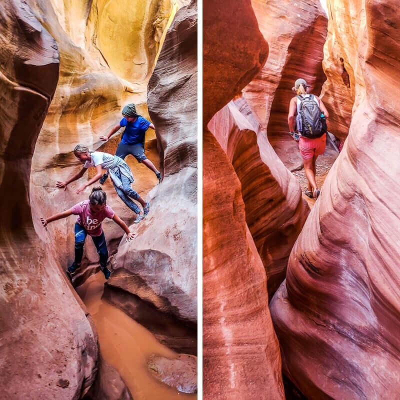
When were so happy our friends Mike and Anne from Honeytrek visited us while in Grand Escalante and recommended we hike Peek-a-boo and Spooky Canyon together.
We had a blast and it was the best hike we did on our USA road trip. None of us wanted this 3.5 mile long adventure climbing over rock faces, through small holes and over boulders to end.
It was full of explosive moves which pounded my head and body.
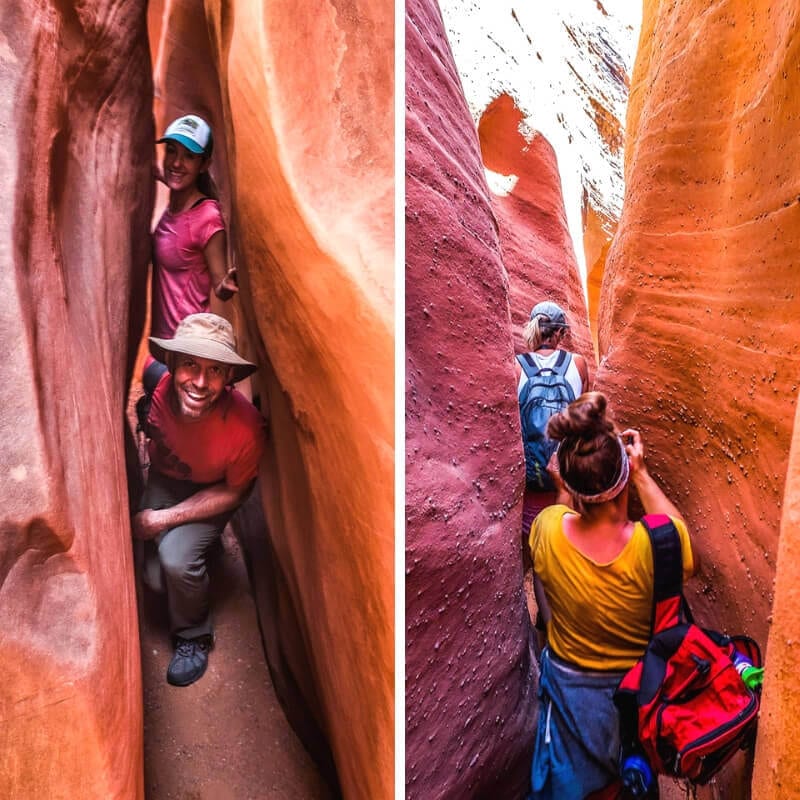
After the tough climb through Peek-a-Boo we entered into Spooky Canyon, called that for how deep and dark and narrow it gets – 11 inches wide.
It was backpacks off backs, and bums and boobs tucked in.
We donned our Flat Stanley personas and slid our way through the crack climbing down further into the canyon as we went.
What a way to spend it with our friends! It’s a must not thing to do in Grand Staircase- Escalante National Monument.
Peek-a-Boo and Spooky Canyon are located in the Dry Fork Canyon area on the Hole-in-the-Rock road. (see below for that scenic drive)
Video: Peek-a-Boo Hike and Burr Trail Drive
Hell’s Backbone Drive
- Distance: 38 miles
- Start point / end point: Boulder to Escalante
- Time to complete: 2 hours
- Highlights: Narrow bridge, Dixie National Forest
- 4×4 needed? No
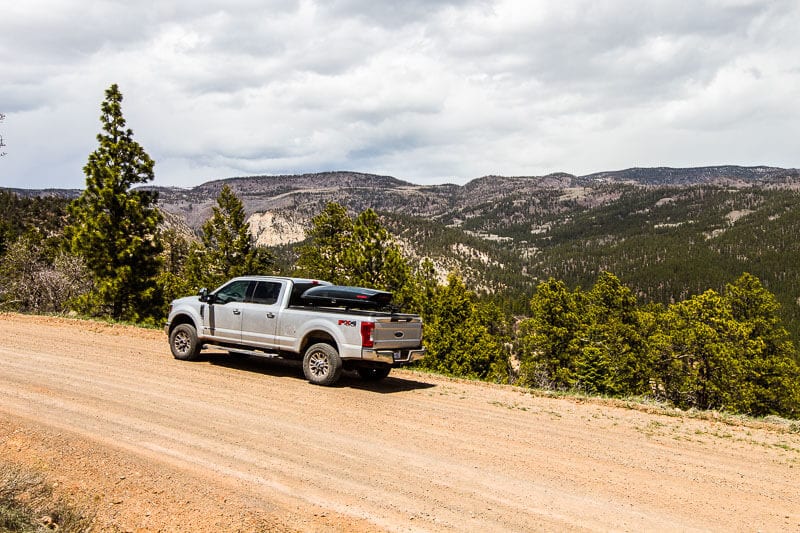
After our two intensive hikes in a row, a much needed rest day was had sitting in the car and enjoying the stunning scenery of the Hell’s Backbone from our window.
The 38-mile dirt road was constructed by Depression-Era Civilian Conservation Corps to serve as an alternate route between Boulder and Escalante.
The road forks from All American Highway 12 near the town of Boulder and climbs west halfway up Boulder Mountain to connect with the Posey Lake/Pine Creek Road.
It winds through the Pine Creek Drainage of the Dixie National Forest starting in juniper desert up into the lush pine and aspen forest.
The road crosses the historic old, wooden Hells Backbone Bridge just above the Box/Death Hollow Wilderness Area.
The Box doesn’t see a lot of tourist traffic, but it’s a mysterious, multicolored sandstone canyon carved by water into the rocks. It reminded me of Bryce Canyon.
Before reaching here, I didn’t think the drive was all that spectacular. But was saved here by these outstanding views over the rugged canyons.
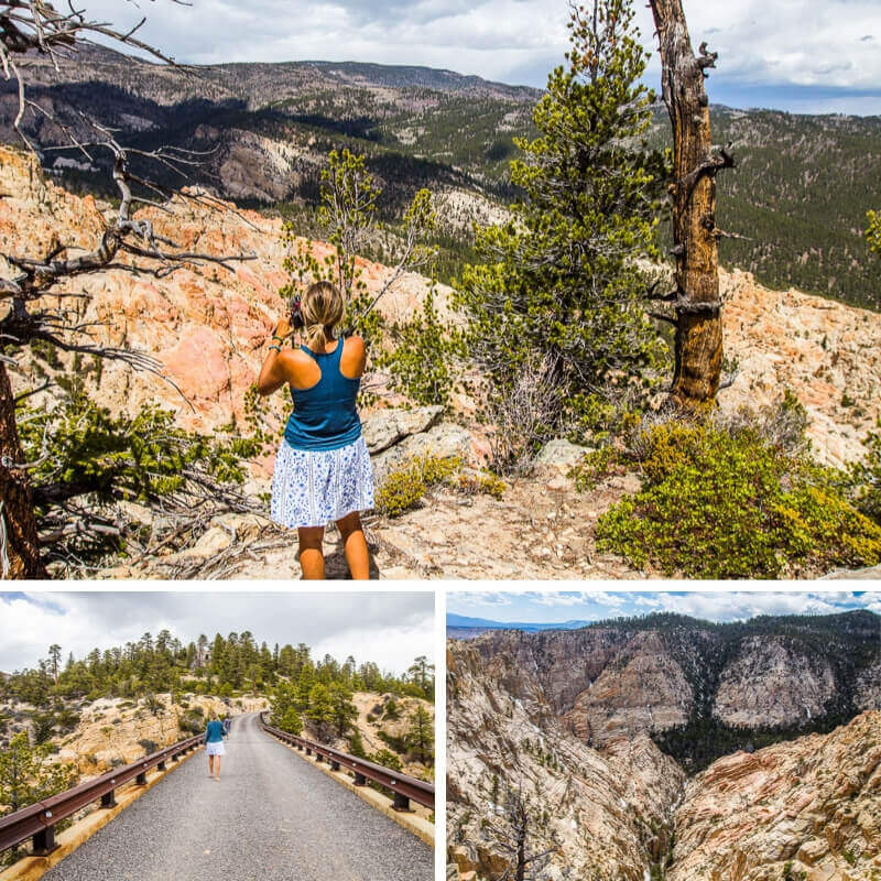
There are several trailheads here to access various parts of the wilderness.
This was where we turned around as snow had cut off the rest of the road.
We combined this drive with the Burr Trail, which made it a very long day for us. If you have time, split it into two days, add in some hikes, and enjoy it from a slower, deeper perspective.
Burr Trail Scenic Byway
- Distance: 64 miles
- Start point / end point: Boulder to Capitol Reef National Park
- Time to complete: about 2-3 hours
- Highlights: Henry Mountains, Waterpocket Fold, Long Canyon, The Surprise Canyon
- 4×4 needed? No
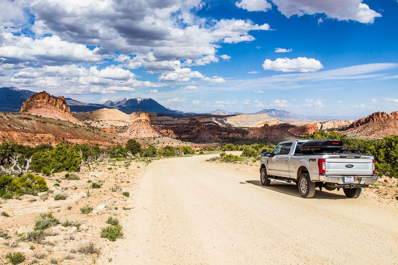
The 64 mile Burr Trail Scenic Byway winds through a deep red slickrock canyon and rolling desert forest of orange and green.
It starts near Boulder in the Grand Staircase Escalante National Monument and goes into the southern section of Capitol Reef National Park.
We knew immediately we had arrived back into Capitol Reef NP as the colors turned into the rainbow and the water pocket fold appeared.
This follows the waterpocket fold and the colors as you look back on the rocks are extraordinary: pink, grey, chocolate, orange, yellow, and white.
It was one of my favorite drives and views in the American Southwest.
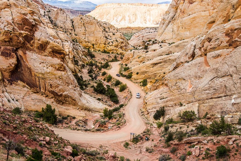
The Burr Trail Scenic Backway was originally developed as a cattle trail blazed by stockman John Atlantic Burr. It’s paved and graded in sections and gravel and dirt in others.
At the bottom of the switchbacks it meets with the Notom Road, which is a gravel road that runs from Highway 24 along the east side of Capitol Reef Utah.
You can follow it for as far as you like.
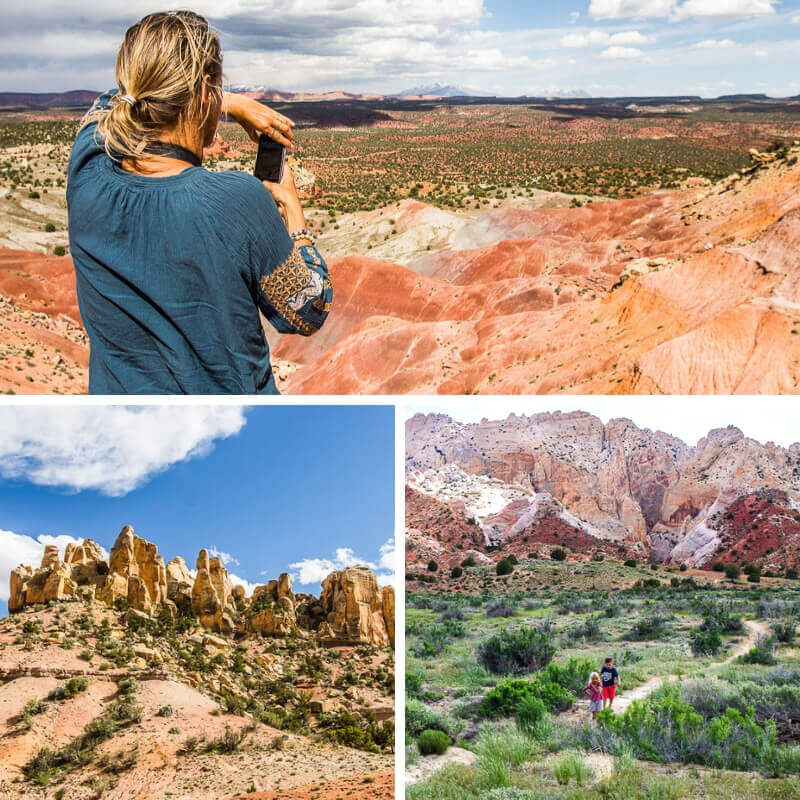
There are different hiking trails along the road. The Surprise Canyon was recommended to us but after our two massive hikes the previous days we decided to just have a resting scenic drive.
You can get into it coming from Highway 12 on the west and then go north on Notom Bullfrog road or come down from highway 24 in the north.
Camping in Grand Staircase-Escalante National Monument
You’re in Utah, there are plenty of free camping places on Bureau of Land Management (BLM) land.
Since Grand Staircase is managed by BLM, you’ll have lots of options! However, we highly recommend boondocking as it allows you to camp with comfort and ease.
Here are two boondocking spots we recommend…
Hole in the Rock Escalante Boondocking Spot
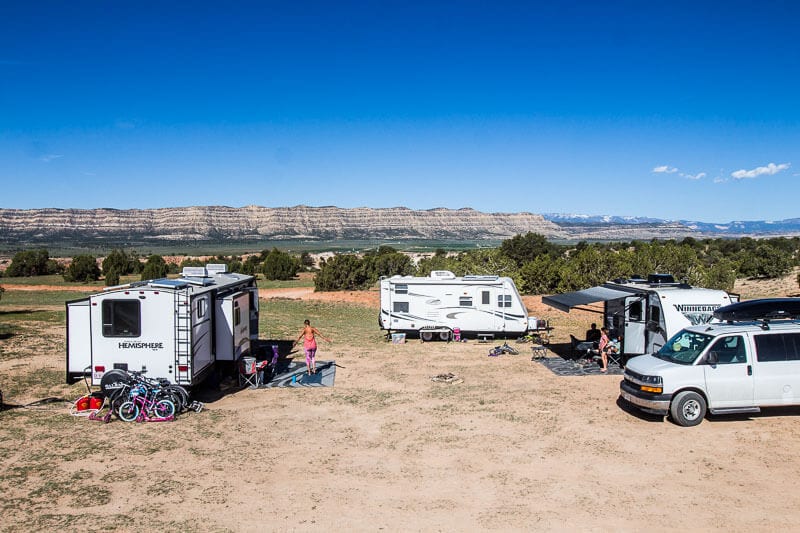
This was one of our favorite boondocking spots on our RV trip, especially all that greenery after months camping on red dirt.
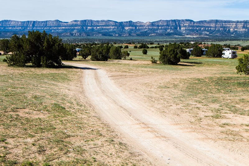
This boondocking spot is right off the beginning of Hole in the Rock scenic drive with easy access to the nearby town of Escalante and its amenities.
It’s a huge area with plenty of grass, open spaces and decent sized trees for shade. The best spots are those along the cliff edge with beautiful views. They were all taken, but our spot was more than adequate.
We also had great internet service here, which was much appreciated after going 4 days offline.
Boondocking spot near Capitol Reef National Park (Overlook Point Camping)
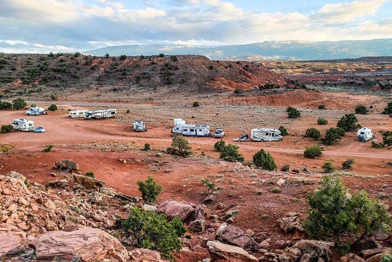
Just outside the Capitol Reef National Park and only five minutes from the town of Torrey was our boondocking spot for Capitol Reef National Park.
On Google Maps, it’s called Overlook Point Campground. It was off the side of the road and right near the beginning of Highway 12.
Again, the kids were happy with the nearby cliffs to scramble over and go on exploratory hikes.
There was no Verizon phone or internet service here, but there was Sprint.
Car Rentals
You need to have a car to enjoy these scenic drives in Grand Staircase Escalante National Monument, so make sure you have a vehicle sorted before you go!
What To Do Nearby Grand Staircase Escalante National Monument
While you’re visiting Grand Staircase Escalante National Monument, you might be wondering what else there is to do nearby! Here are some other guides to help you out…
More tips on Utah & American Southwest
Here is some more inspiration for your trip to Utah and the American Southwest…
Discover more from reviewer4you.com
Subscribe to get the latest posts to your email.
